12 Pieces Educational Math Posters for Kids with 120 Glue Point Dot for Elementary and Middle School Classroom Teach Multiplication Division Addition Subtraction Fractions Numbers, 16 x 11 Inch
2,309 $

Collins Children’S World Wall Map: An Illustrated Poster For Your Wall
1,309 $

World Map - Wall Chart - EXTRA LARGE - A1 (850mm x 594mm) - Laminated - Geography Secondary School Classroom Wall Charts by Daydream Education.
2,169 $

2 Pack - Laminated World Map Poster & USA Map Set - Equal Earth world map design shows continents at true relative size - US Map 18” x 29”
1,519 $

Hadley Designs 4 Alphabet, Map of United States, World Map, Solar System, ABC Posters Toddlers Wall Decor, Planets For Kid, US Map Laminated Kindergarten Classroom Prek Homeschool Supplies 11x17
2,629 $

Hadley Designs 16 Educational Posters for Classroom & Kindergarten, Kindergarten Classroom Must Haves, Laminated PreK Learning Chart Materials US & World Map, ABC Alphabet, Shapes, Days of the Week
3,559 $

Outus 60 Pieces Giant Push Pins Large Thumb Tacks Jumbo Push Pins 1 Inch Plastic Heads Pins for Cork Board Map Posters Office School(Clear)
1,319 $

Faithful Prints World Map Poster Atlas Print Geography Educational Classroom Chart (A3 (297 x 420mm))
1,299 $

UK Map Geography Poster - EXTRA LARGE - A1 (850mm x 594mm) - Gloss Paper - Secondary School Geography Wall Charts by Daydream Education
1,259 $
Collins Children’s World Wall Map: An illustrated poster for your wall: 12 (Collins Children's Poster)
1,209 $

Collins School Atlas: Ideal for learning at school and at home (Collins School Atlases)
1,889 $

Outus Fully Laminated Preschool Educational Posters for Kids and Toddlers, Nursery Homeschool Pre-K Kindergarten (4 Pieces, World Map, USA Map, Solar System, Human Body)
2,029 $
![2 Pack - World Map Poster & USA Map Chart [Tan/Color] (LAMINATED, 18” x 29”)](https://m.media-amazon.com/images/I/A1aLNThapcS.jpg)
2 Pack - World Map Poster & USA Map Chart [Tan/Color] (LAMINATED, 18” x 29”)
1,829 $

Collins Student Atlas
508 $

Maps International - World Map - Updated 2024 - Front Sheet Lamination - 118.9cm (w) x 84.1cm (h)
2,869 $
Collins School Atlas
520 $
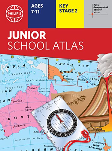
Philip's RGS Junior School Atlas
2,229 $
GoodernWorld Map Poster,Geography Educational Knowledge Chart,50×35cm Wall Art Canvas Printing Classroom Office Bedroom Aesthetic Poster and Decoration for Preschool, Kindergarten,Elementary
1,169 $

World Map | Geography Posters | Gloss Paper measuring 850mm x 594mm (A1) | Geography Classroom Posters | Education Charts by Daydream Education
3,149 $

Collins World Wall Paper Map
1,329 $

World Map Poster for Wall – 84 x 60cm Large Wall Map of World – World Map Wall Art Atlas - Map of Europe Travel Map - Classroom or Geography Gift
1,259 $

School Student World Atlas Map Book English Latest Edition from InIkao
76 $

Laminated World Map & US Map Poster Set - 18" x 29" - Wall Chart Maps of the World & United States - Made in the USA (LAMINATED)
1,839 $

World Map Wall Chart – 1 July 2008
1,059 $

Me on the Map
1,059 $

United States Map - USA Poster, US Educational Map - With 2 Letter State Abbreviation - for Ages Kids to Adults - Home School Office | Printed on 110Lb Card Stock - 8.5 x 11" Inches - Bulk Pack of 10
660 $

32 Set of 59 Colorful Educational Posters for Kids - 17x11, Multiplication Chart, Alphabet ABC Poster, Periodic Table, USA, World Map, Classroom Posters, Homeschool Supplies - Laminated & Flat, 17x11
3,779 $

SMALL - 100 INDIA POLITICAL OUTLINE MAP FOR SCHOOL | 100 Blank Outline Maps for Mapping Activities and Projects
32 $

Merriam-Webster’s Student Atlas - Features full-color physical, political, & thematic maps Paperback – Student Edition, August 15, 2022
1,579 $

Momo & Nashi United States & World Map Poster for Kids - 2 Pc - 24 x 16 Inch Waterproof USA & Map of the World Poster - for Wall Posters for Learning, Classroom, Education, Back to School Resources
2,529 $

Outline Practice map of India and World (Both Political and Physical map) | A-4 BIG SIZE | Set Of 100 Maps | Printed on High Grade Paper
2,449 $

Complete Book of Maps and Geography Workbook, Global Geography for Kids Grades 3-6, United States Geography and Regions, Map Skills, Time Zones, Oceans
2,159 $

World Political Map : Map For Students (30 Inches X 20 Inches)
709 $

Educational Blank Outline Maps, 2-Sided World & US, 17” x 11”, 50-Pack | Great Blank Map Worksheets for Classroom or Home Study | Laminated Answer Sheet Included | Map Packs are Perfect Desk Size
1,925 $
![2 Pack - World & USA Map for Kids [Illustrated] - 2 Poster Set (LAMINATED, 18" x 29")](https://m.media-amazon.com/images/I/91iFZgi2OEL.jpg)
2 Pack - World & USA Map for Kids [Illustrated] - 2 Poster Set (LAMINATED, 18" x 29")
2,199 $

Bible Story Map Poster (Laminated) - 18" x 24" For Classroom, Christian Learning, Homeschool, Christian History & Art for Home Church Or Sunday Bible School, Old Testament Decorations
2,329 $

Bible Story Map Poster (Laminated) - 18" x 24" For Classroom, Christian Learning, Homeschool, Christian History & Art for Home Church Or Sunday Bible School, Old Testament Decorations
707 $

Cavallini Papers World Map Vintage School Chart
6,909 $

India & World Map (Both Political & Physical) - LAMINATED | Size - 70×100 cm | Use For Preparation Of UPSC, SSC, IES, etc Exams.
1,309 $

United State Map Laminated Poster -Double Side Educational Poster For Kids/Adults -18 x 24 inch Waterproof Map For Home Classroom
1,829 $

India Political & India Rivers (50 Nos Each) Outline map | A4 Size (100 maps) | Multipurpose map For School/College Assignments/Projects/ Practical Paper Print
1,239 $

26 Set of 50 Educational Posters for Kids - Multiplication Chart, Periodic Table, USA, World Map, Sight Words, Word Families, Homeschool Supplies, Classroom Decorations - Laminated & Flat, 17x11
3,859 $

World Map and USA Map for Kids - 2 Poster Set - LAMINATED - Wall Chart Poster of the United States and the World (18 x 24)
1,619 $

2 Pack - USA Map for Kids + Blue Ocean World Map (LAMINATED, 18" x 29")
1,619 $

India & World Map ( Both Political & Physical ) with Constitution of India Chart | LAMINATED | SET OF 5 | Useful for UPSC, SSC, IES and other competitive exams
829 $

India & World Map ( Both Political & Physical ) with Constitution of India Chart, History of India Chart & Geography Terms Chart | Set Of 7 | Useful for UPSC and other exams | By VCP Product Bundle – Folded Map, 1 January 2021
1,249 $

National Geographic Student World Atlas, 6th Edition Paperback – Student Edition, July 5, 2022
1,799 $

SCRIBBLEDO US Map Practice Sheets 11”x14” Map Of The United States Dry Erase Sheets Homeschool Supplies United States Map Teacher Students Classroom Pack of 10 Sheets
1,619 $

World Map, United States Map, and Solar System Poster with Extra Features – Laminated 14x19.5 in – Educational Posters, Classroom Decorations, Teachers Supplies, Virtual Learning for Kids, Homeschool Decor
2,759 $

School Zone - Travel the Great States Workbook - 64 Pages, Ages 8 and Up, Geography, Map-Reading, United States, and More (School Zone Activity Zone® Workbook Series)
160 $

Laminated United States Scholar Map Poster | Educational Elementary School Version | Easy-to-Read Large Labels | 36” x 24” | Shipped in a Tube, Not Folded | Great for The Home or Classroom
4,619 $

U.S. Map Poster (32 x 50 inches) - Laminated: - a QuickStudy Reference Poster – May 31, 2013
1,649 $

Merriam-Webster’s Notebook Atlas - Features full-color maps - Fits in a 3-ring binder
1,119 $

United States Map - USA Poster, US Educational Map - With State Capital - for Ages Kids to Adults- Home School Office - Printed on 12pt. Glossy Card Stock | Bulk Pack of 10 | 8.5 x 11 Inches
2,629 $

US and World Desk Map (13" x 18" Laminated) for Students, Home or Classroom Use by Lighthouse Geographics Office Product
1,609 $

Imagimake Mapology USA & World Map Puzzle with Flags, Capitals, Stickers | Educational Toys for Ages 5-7 | Jigsaw Puzzles for Kids Ages 8-10 | Geography Toys for Ages 8-13 | 6 Year Old Boy/Girl Gifts
5,879 $
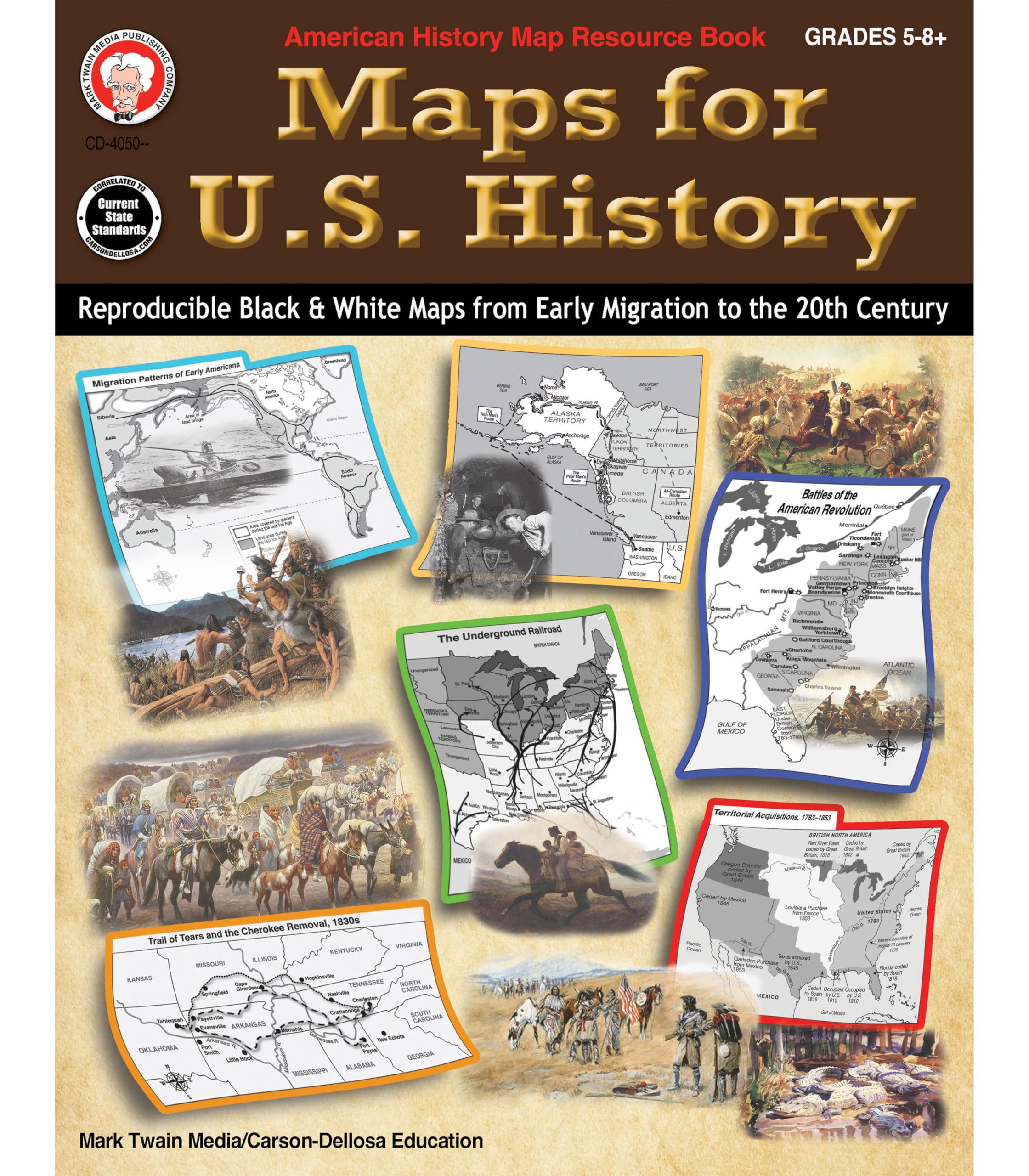
Mark Twain Maps for US History Geography Workbook, American History and Geography for Kids Grades 6-12, Middle School and High School US Map Skills, Social Studies Classroom and Map Skills Workbook
445 $

Cavallini Papers United States Map Vintage School Chart
6,799 $

World Map Poster (32 x 50 inches) - Laminated: - a QuickStudy Reference
1,959 $

The Secret Language of Maps: How to Tell Visual Stories with Data (Stanford d.school Library)
1,629 $

Educational Placemats for Kids Set of 8 World Map Placemat Non Slip Washable Eat Table Mat USA, Europe, Asia, Africa, South America, Central America, Canada Maps for Primary School Dining Table
877 $

32 Set of 59 Educational Posters for Kids - 17x11, Multiplication Chart, ABC, World, USA Map, Periodic Table, Division, Homeschool Supplies - 17x11
2,989 $

21cm World Globe Political Map Globe - English Map - Educational|Geographic|Modern Desktop Decoration - Stainless Steel Arc And plastic Base - School, Home,Office
250 $

24x36 World and USA Classic Premier 3D Two Wall Map Set (Paper Folded)
496 $

24x36 World Classic Premier Wall Map Poster (Laminated)
2,579 $

Blank US Map Laminated Dry Erase Poster, Reusable United States Map 24"x36"
2,919 $

64 Pcs Educational Placemats World Map Placemat for Kids Country Placemats Learning Placemats USA Europe Asia Africa South America Central America Canada Maps for Primary School Dining Table
577 $

RMC 32" x 50" Classic United States USA and World Wall Map Set (Classic Edition)
3,919 $

Mr. Pen- United States Map for Kids, 14.5”x 24.6”, US Map for Kids Learning, Map of USA, Wall Maps, USA Map Poster, Map of the United States, Kids Map United States, Maps for Kids of The United States
1,019 $

Swiftmaps World Premier Wall Map Poster Mural 24h x 36w
1,829 $

McDonald Publishing Basic Map Skills Poster Set (P222)
3,099 $

3 Pack - World Map & USA Map for Kids + Blue Ocean World Map - 3 Poster Set (LAMINATED, 18" x 29")
490 $

Colorful World Map with Flags & Capitals + 50 Interesting Facts - XL Wall Art Poster for Home & Classroom - Educational for Kids & Adults
2,819 $

Evan-Moor Educational Publishers The World: Reference Maps & Forms Book (World & U.S. Maps) Paperback – Teacher's Edition, January 1, 2004
2,089 $

UNITED STATES Blank map outline: U.S blank map worksheets for students and teachers
328 $

Daydream Education UK Map | Geography Posters | Gloss Paper measuring 850mm x 594mm (A1) | Geography Classroom Posters | Education Charts
591 $

Philip's RGS Essential School Atlas
2,959 $

Maps International Giant World Map - Mega-Map Of The World - 46 x 80 - Full Lamination - 2024 Updated
5,849 $

DAYONG Scratch Off Word Map, Scratch Off Map with Scratcher and Brush, 82x60CM Scratch Off Travel Poster, Travel Map Wall Art Gift for Outdoor Enthusiasts
1,599 $
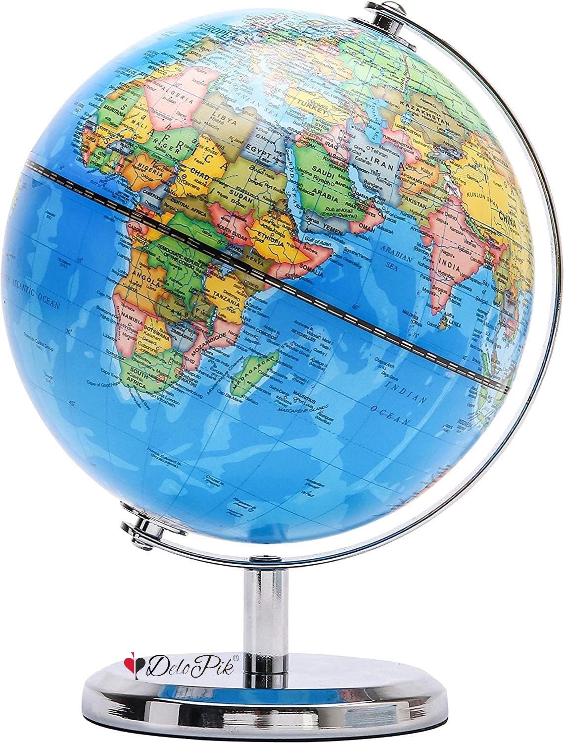
Delopik 20cm World Globe Political Map Globe - English Map - Educational;Geographic;Modern Desktop Decoration - Stainless Steel Arc And plastic Base - School, Home,Office FR113(stainless A)
1,709 $

ECVV 14.2Cm World Globe Political Map Globe - English Map - Educational|Geographic|Modern Desktop Decoration - Stainless Steel Arc And plastic Base - School, Home,Office
264 $

China Classic, Laminated: Wall Maps Countries & Regions
1,286 $

Philip's RGS World Atlas (A4): with Global Cities, Facts and Flags
1,089 $

Collins First Atlas
388 $

Collins Junior Atlas
1,869 $
KASTWAVEKASTWAVE Push Pins Decorative Plastic Thumb Tacks Wall Tacks for Home, School, Map, Office, Photo Wall, Cork Board (White 100Pcs)
1,429 $

Collins Primary Atlas Paperback – Atlas, 3 February 2022
1,279 $

Oxford School Atlas
870 $

Khazna Push Pins Decorative Plastic Thumb Tacks Wall Tacks for Home, School, Map, Office, Photo Wall, Cork Board (White 100Pcs)
1,009 $

Grupo Erik - Map of Italy Poster 61 x 91.5cm
2,529 $

World Happy Map Educational Laminated World Map 34” X 22” | Easy Write-on Wall Map for School, Classroom - Foldable Geographical Travel Maps, Perfect for Teaching & Learning for Kids
1,014 $
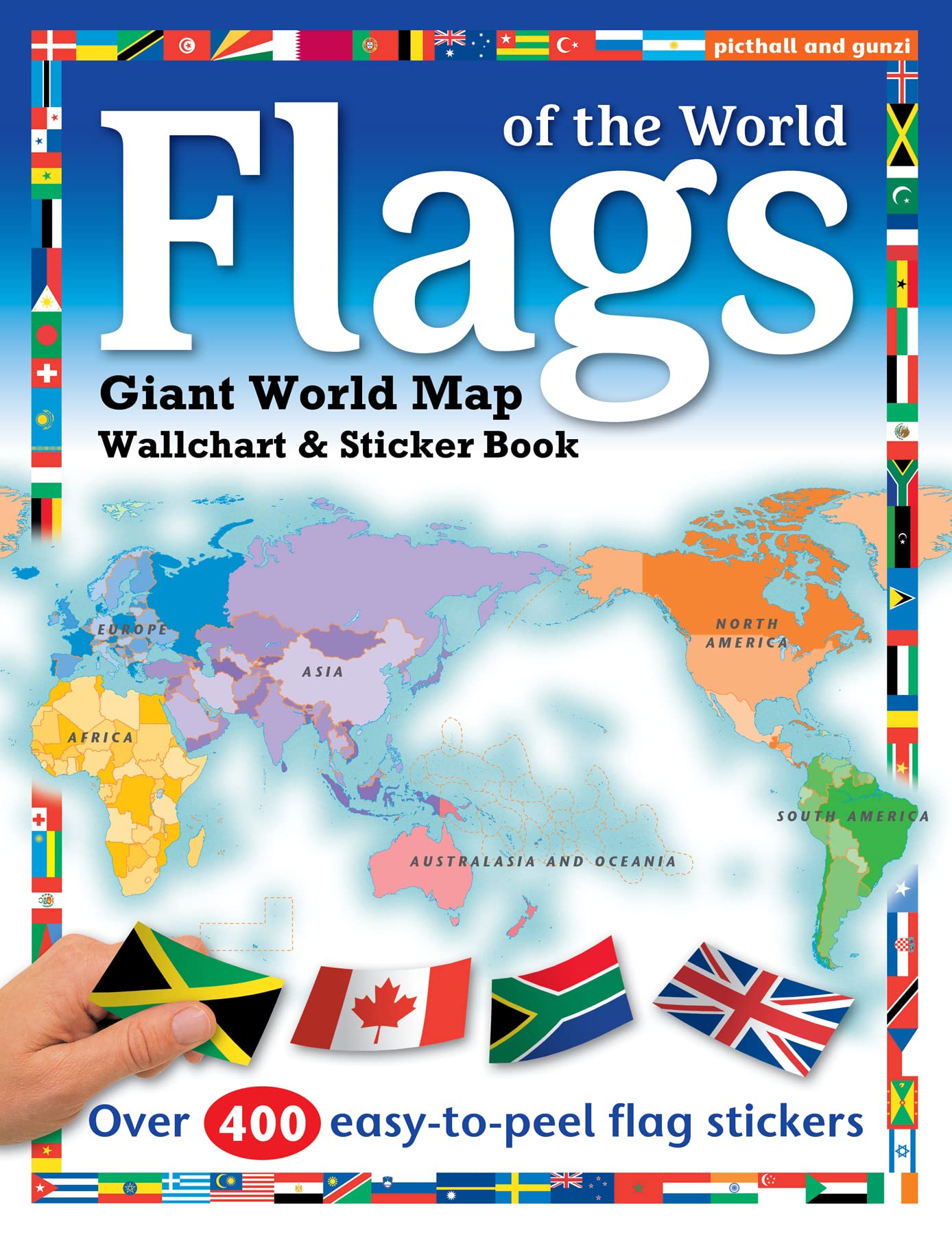
Flags of the World: World Map Wallchart Poster and Sticker Book Paperback – 13 August 2020
1,099 $

KASTWAVE Tapestry World Wall Map Mural, Decoration Vintage World Map Hanging Poster for Kids Student, Art Educational Background Wallpaper Wall Hanging for Living Room Home Office (39.3 x 59'' M)
1,569 $

World Executive, Laminated: Wall Maps World
2,659 $

OXFORD SCHOOL ATLAS
1,999 $

Collins Student Atlas: Ideal for learning at school and at home
581 $
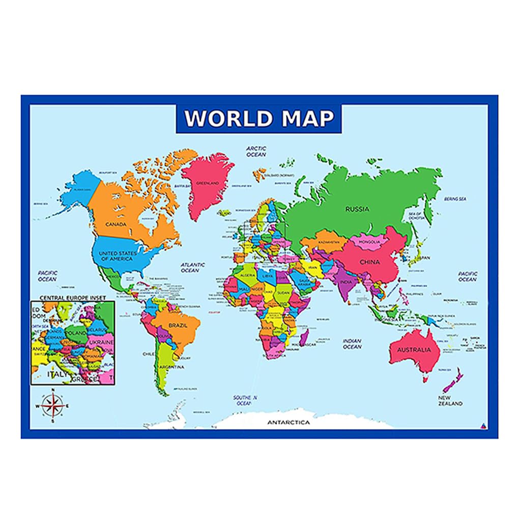
World Map-Laminated
1,699 $

Collins Junior Atlas
1,499 $

India Classic, Tubed: Wall Maps Countries & Regions Map – 2 August 2012
1,009 $

Collins World Atlas: Paperback Edition
1,179 $
Get the App